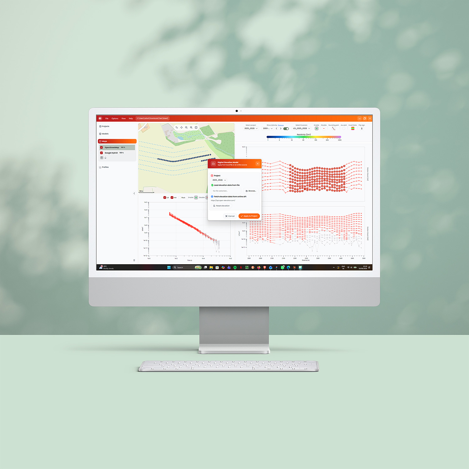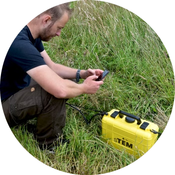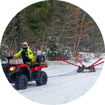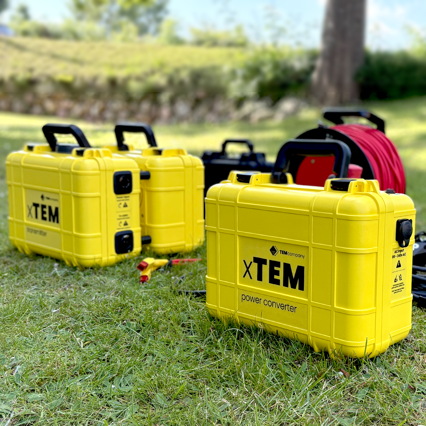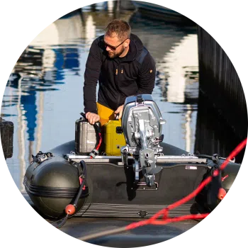

FloaTEM is the tTEM solution that delivers accurate and reliable data for mapping aquifers and investigating water bodies.
FloaTEM is an hydrogeophysical scanner for river and shallow sea bottom imaging. It enables aquatic geophysical surveys that deliver detailed imaging data.
Configuration options
- 221 Transmitter coil – 2 x 2 m, 1 turn – Maximum depth of investigation 130 m. Less depth of investigation as 331 but slightly better resolution in shallow subsurface. 2 x 2 m coil enables access to narrower driving tracks.
- 331 Transmitter coil – 3 x 3 m, 1 turn – Depth of investigation 130 m. This system is optimized for a large depth of investigation and high resolution of shallow layers.
- 333 Transmitter coil – 3 x 3 m, 3 turns – Depth of investigation 180 m. System provides a large transmitter moment but with slightly less resolution in the shallow subsurface compared to the 331.
- 443 Transmitter coil – 4 x 4 m, 3 turns – Depth of investigation -Variable. Maximum transmitter moment designed for FloaTEM operation on freshwater/saltwater/brackish water.