
Unlock Subsurface Insights with Simplicity and Speed
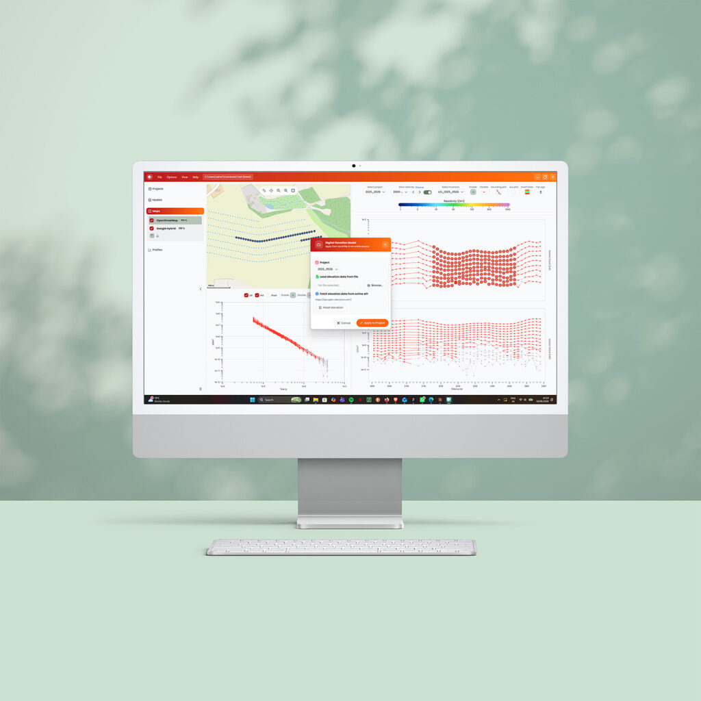
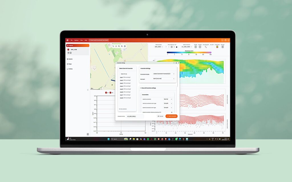
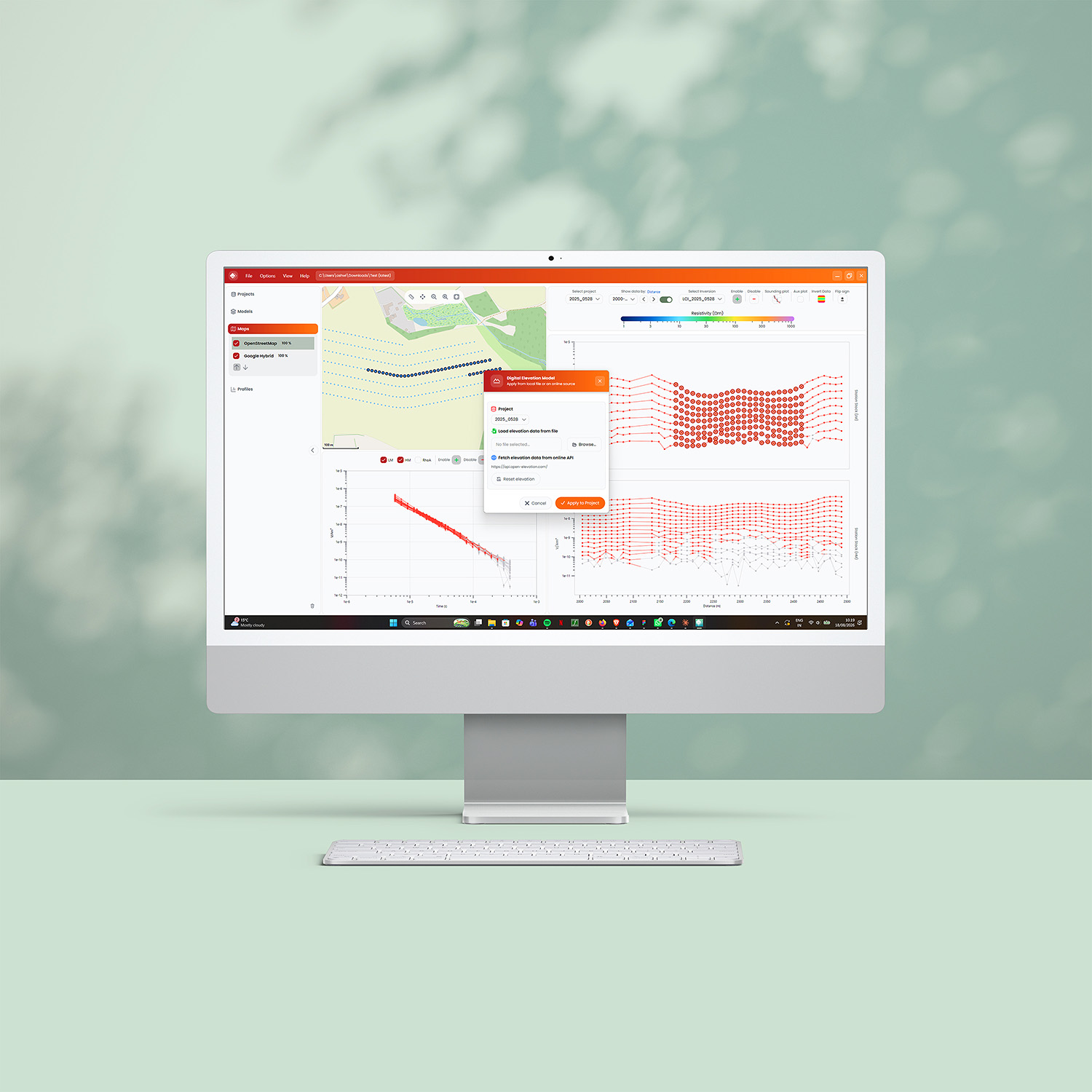
TEMimage is designed for easy processing and inversion of data from the tTEM, sTEM product families and the TEM2Go and xTEM. The app integrates an intuitive data plot with a map view and easy-to-interpret cross sections and resistivity maps. TEMimage offers a simple interface to advanced data processing algorithms and a state-of-the-practice robust inversion algorithm. It integrates with all our TEMcompany instruments. Contact our Sales team below for more information and pricing.
Advanced Inversion Made Accessible
TEMimage 2.0 runs the same industry-standard Laterally Constrained Inversion (LCI) and Spatially Constrained Inversion (SCI) algorithms, now rebuilt for speed: inversion runs up to 20x faster, with LCI for profile-mode data fully built in and no external tools required. Choose between smooth L2-norm and block L1-norm optimization. The inversion hides complex settings and presents only the essential parameters you need to adjust, while advanced users can fine-tune everything else.
Powerful GIS Integration & Visualization
TEMimage includes a built-in mapping system with free OpenStreetMap basemaps for easy identification of sounding locations and potential sources of disturbance. Import custom WMS-supported layers for more detailed context. Draw custom profile sections directly on the map and instantly add inversion models to visualize your data in a geographical context. Both GPS coordinates and sounding locations are displayed on the map, making it simple to correlate field measurements with real-world locations. The integrated visualization lets you create resistivity depth slices for spatially distributed models, helping you interpret results faster and communicate findings more effectively.