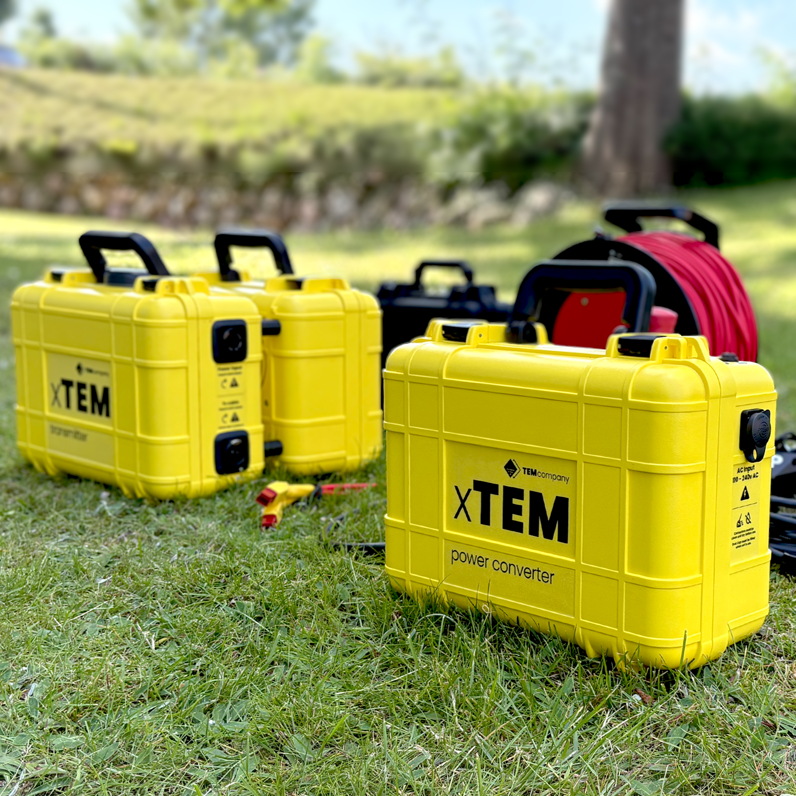

xTEM

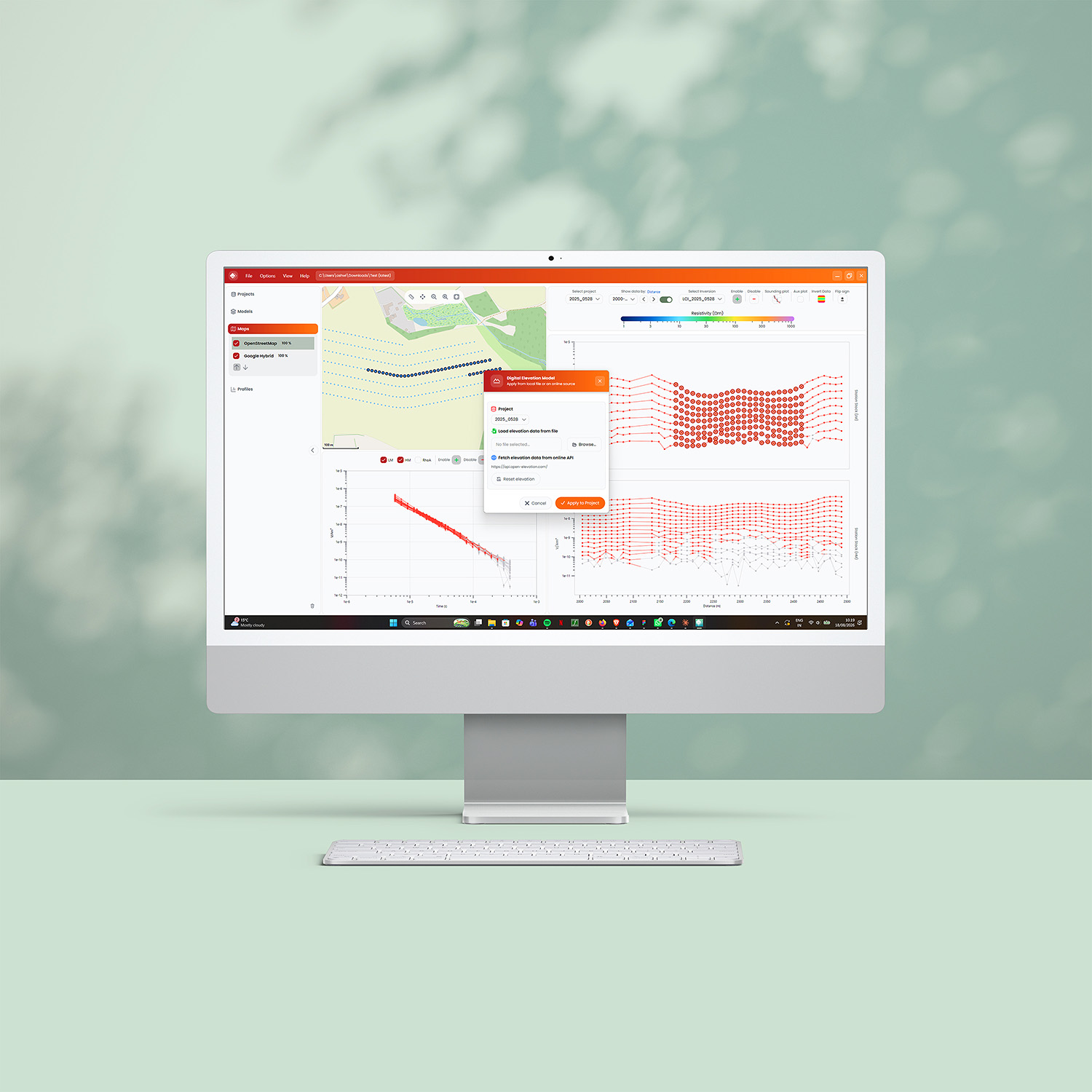
The xTEM geoscanner delivers efficient, reliable data for geophysical mineral exploration. It conducts measurements from a single source with wireless, independent, lightweight receivers, capturing data to depths beyond 600 m (2000 ft). The high-powered hybrid system delivers increased depth of investigation alongside 3D imaging capabilities.

The xTEM delivers accurate data up to depths of 1000 m

Conducting single-site measurements, capturing data reaching depths beyond 600m. The xTEM is operated via an Android or iOS app.


Configuration

  • Transmitter coil sizes – 40 x 40 m, 80 x 80 m, 200 x 200 m
  • Transmitter output current – 1 Amp (turn-off time ~ 11 us) up to 30 Amp (turn-off time ~ 30 us)
  • Transmitter weights – 40 m x 40 m – 6 kg pr drum
  • Receiver coil sizes – 3 m x 3 m (36 m2) 5 x 5 m (200 m2)
  • Receiver weight -5 kg (11 lb)
  • Depth of investigation – 500 m -1000 m, dependent on coil configuration and geology
  • Independent wireless receivers – single or multiple units can be used simultaneously
  • Connectivity – WiFi, iOS & Android

Related tools

TEM Image

Leggi tutto

sTEM20
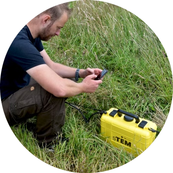
The powerful sTEM20 delivers accurate data to depths of 200 m – 600 m. Conducting single-site measurements, capturing data that can reach depths beyond 500 m (1650 ft). Powerful and accurate, the sTEM20 geoscanner is operated via an Android or iOS app.

Leggi tutto

SnowTEM
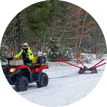
The SnowTEM delivers detailed mapping data in snow and ice. Suitable for permafrost, groundwater, sand, and gravel deposit mapping. Conducting continuous measurements, capturing data reaching depths of 180 m (590 ft). The SnowTEM geoscanner is operated via an Android or iOS app.

Leggi tutto

TEM2Go
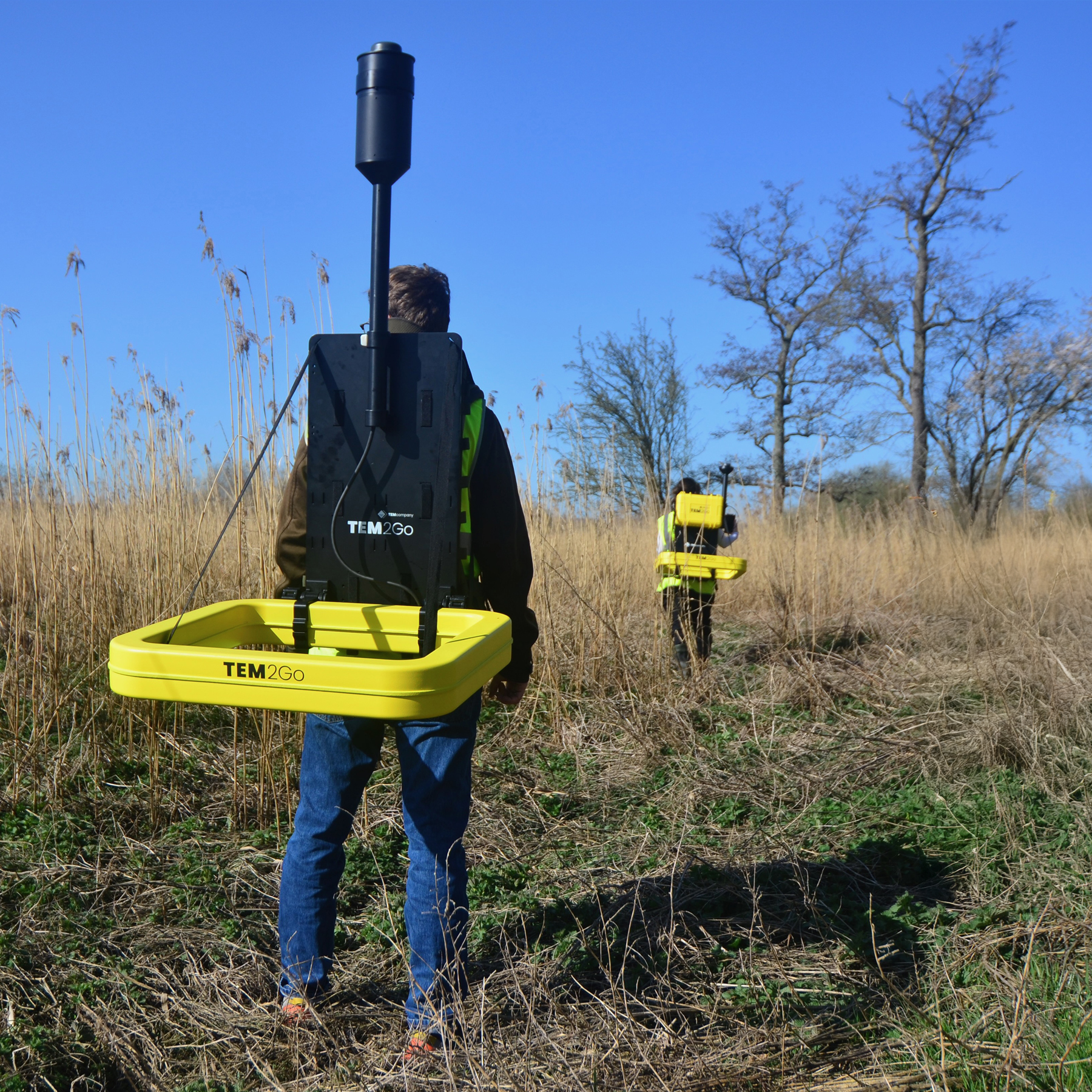
The TEM2Go geophysical scanner delivers survey data for construction sites, groundwater mapping, managed aquifer recharge, and mining. It’s compact and built on a professional backpack frame, making it easy to carry in even the most challenging terrain. If a person can walk across a terrain, TEM2Go can gather the data. The TEM2Go delivers accurate data from the surface to depths of 75 m depending on geology.

Leggi tutto