TEM Company

TEM Company

TEM Image

Leggi tutto

sTEM20
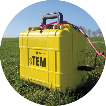
The powerful sTEM20 delivers accurate data to depths of 200 m – 600 m. Conducting single-site measurements, capturing data that can reach depths beyond 500 m (1650 ft). Powerful and accurate, the sTEM20 geoscanner is operated via an Android or iOS app.

Leggi tutto

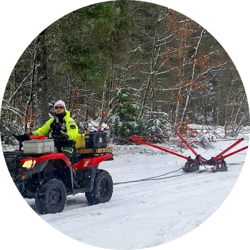
SnowTEM
The SnowTEM delivers detailed mapping data in snow and ice. Suitable for permafrost, groundwater, sand, and gravel deposit mapping. Conducting continuous measurements, capturing data reaching depths of 180 m (590 ft). The SnowTEM geoscanner is operated via an Android or iOS app.

Leggi tutto

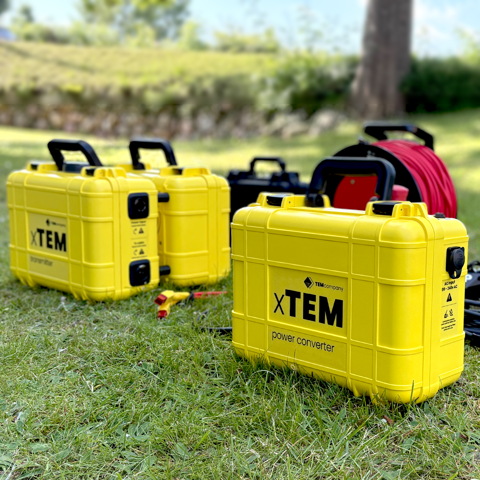
xTEM
The xTEM geoscanner delivers efficient, reliable data for geophysical mineral exploration. It conducts measurements from a single source with wireless, independent, lightweight receivers, capturing data to depths beyond 600 m (2000 ft). The high-powered hybrid system delivers increased depth of investigation alongside 3D imaging capabilities. The xTEM delivers accurate data up to depths of 1000 m

Leggi tutto

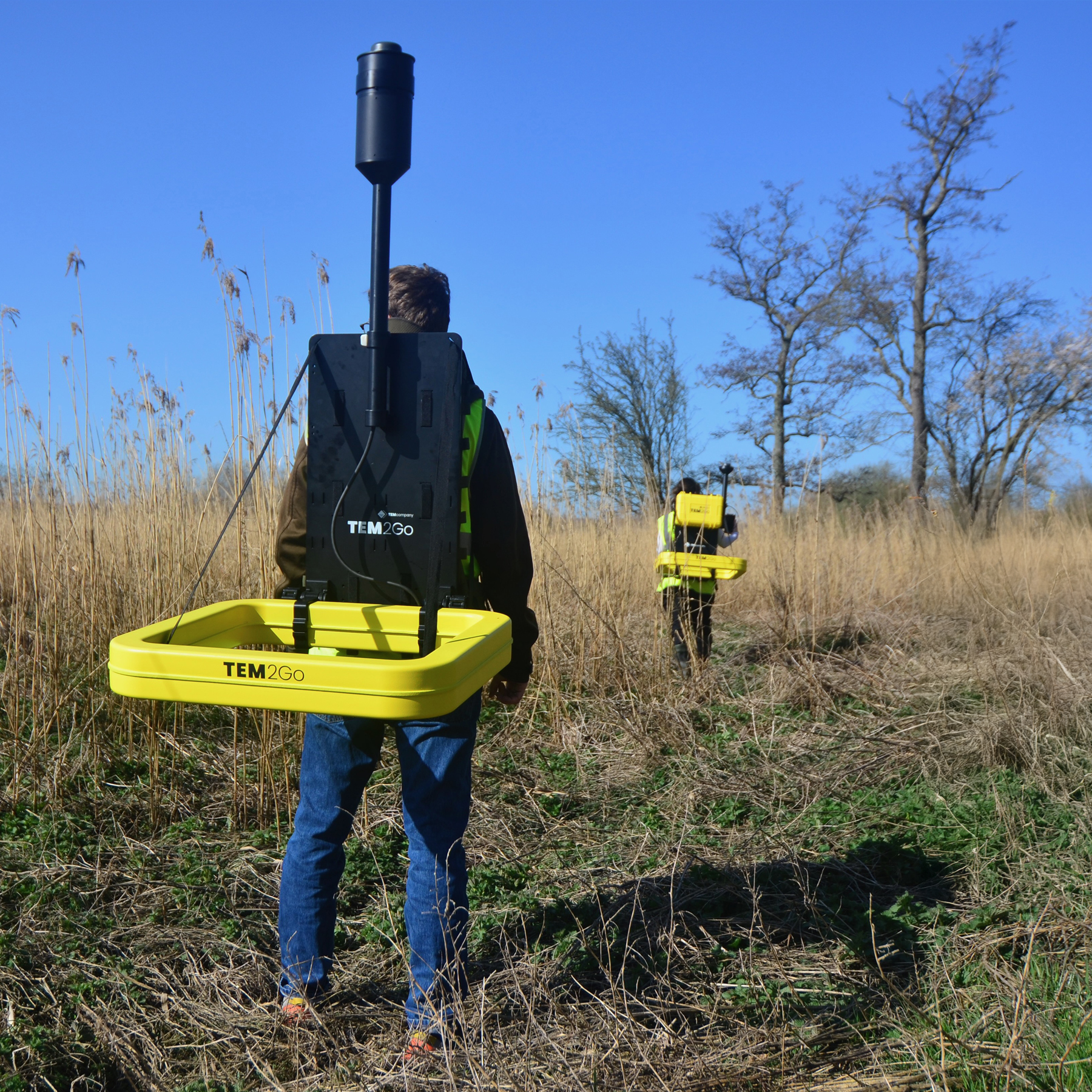
TEM2Go
The TEM2Go geophysical scanner delivers survey data for construction sites, groundwater mapping, managed aquifer recharge, and mining. It’s compact and built on a professional backpack frame, making it easy to carry in even the most challenging terrain. If a person can walk across a terrain, TEM2Go can gather the data. The TEM2Go delivers accurate data from the surface to depths of 75 m depending on geology.

Leggi tutto

sTEM10
The sTEM10 delivers accurate data to depths of 200 m – 500 m. Conducting single-site measurements, capturing data reaching depths between 200 m (656 ft) and 500 m (1650 ft). The sTEM10 geoscanner is operated via an Android or iOS app.

Leggi tutto

tTEM
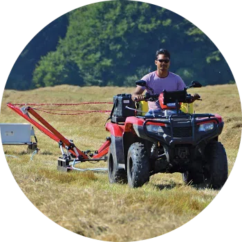
The ATV towed tTEM delivers accurate and reliable data for use cases, including mapping groundwater, MAR, sand, and gravel deposits. Conducting continuous measurements, capturing data reaching depths of 180 m (590 ft). The tTEM geoscanner is operated via an Android or iOS app.

Leggi tutto

FloaTEM
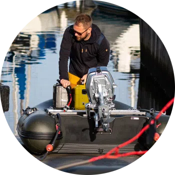
FloaTEM is the tTEM solution that delivers accurate and reliable data for mapping aquifers and investigating water bodies. FloaTEM is an hydrogeophysical scanner for river and shallow sea bottom imaging. It enables aquatic geophysical surveys that deliver detailed imaging data.

Leggi tutto

sTEM5
The sTEM5 delivers accurate data to depths of 150 m – 200 m. Conducting single-site measurements, capturing data that reaches depths up to 200 m (656 ft). Our most affordable entry level sTEM geoscanner is operated via an Android or iOS app.

Leggi tutto

TEM Image

Leggi tutto

sTEM20
The powerful sTEM20 delivers accurate data to depths of 200 m – 600 m. Conducting single-site measurements, capturing data that can reach depths beyond 500 m (1650 ft). Powerful and accurate, the sTEM20 geoscanner is operated via an Android or iOS app.

Leggi tutto

SnowTEM
The SnowTEM delivers detailed mapping data in snow and ice. Suitable for permafrost, groundwater, sand, and gravel deposit mapping. Conducting continuous measurements, capturing data reaching depths of 180 m (590 ft). The SnowTEM geoscanner is operated via an Android or iOS app.

Leggi tutto

xTEM
The xTEM geoscanner delivers efficient, reliable data for geophysical mineral exploration. It conducts measurements from a single source with wireless, independent, lightweight receivers, capturing data to depths beyond 600 m (2000 ft). The high-powered hybrid system delivers increased depth of investigation alongside 3D imaging capabilities. The xTEM delivers accurate data up to depths of 1000 m

Leggi tutto

TEM2Go
The TEM2Go geophysical scanner delivers survey data for construction sites, groundwater mapping, managed aquifer recharge, and mining. It’s compact and built on a professional backpack frame, making it easy to carry in even the most challenging terrain. If a person can walk across a terrain, TEM2Go can gather the data. The TEM2Go delivers accurate data from the surface to depths of 75 m depending on geology.
Leggi tutto

sTEM10
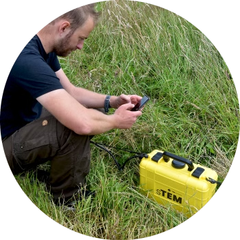
The sTEM10 delivers accurate data to depths of 200 m – 500 m. Conducting single-site measurements, capturing data reaching depths between 200 m (656 ft) and 500 m (1650 ft). The sTEM10 geoscanner is operated via an Android or iOS app.

Leggi tutto

tTEM
The ATV towed tTEM delivers accurate and reliable data for use cases, including mapping groundwater, MAR, sand, and gravel deposits. Conducting continuous measurements, capturing data reaching depths of 180 m (590 ft). The tTEM geoscanner is operated via an Android or iOS app.

Leggi tutto

FloaTEM
FloaTEM is the tTEM solution that delivers accurate and reliable data for mapping aquifers and investigating water bodies. FloaTEM is an hydrogeophysical scanner for river and shallow sea bottom imaging. It enables aquatic geophysical surveys that deliver detailed imaging data.

Leggi tutto

sTEM5
The sTEM5 delivers accurate data to depths of 150 m – 200 m. Conducting single-site measurements, capturing data that reaches depths up to 200 m (656 ft). Our most affordable entry level sTEM geoscanner is operated via an Android or iOS app.

Leggi tutto