tTEM

The tTEM family of geophysical instruments is available in various configurations to deliver the right data for your project on land, snow, and water. TEMcompany’s plug-and-play modular system enables the tTEM to be easily adapted as a SnowTEM or FloaTEM.
tTEM

The tTEM family of geophysical instruments is available in various configurations to deliver the right data for your project on land, snow, and water. TEMcompany’s plug-and-play modular system enables the tTEM to be easily adapted as a SnowTEM or FloaTEM.
SnowTEM
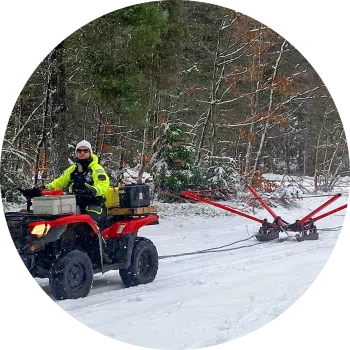
The SnowTEM delivers detailed mapping data in snow and ice. Suitable for permafrost, groundwater, sand, and gravel deposit mapping. Conducting continuous measurements, capturing data reaching depths of 180 m (590 ft). The SnowTEM geoscanner is operated via an Android or iOS app.

Leggi tutto

tTEM
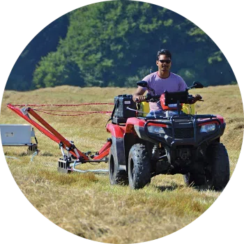
The ATV towed tTEM delivers accurate and reliable data for use cases, including mapping groundwater, MAR, sand, and gravel deposits. Conducting continuous measurements, capturing data reaching depths of 180 m (590 ft). The tTEM geoscanner is operated via an Android or iOS app.

Leggi tutto

FloaTEM
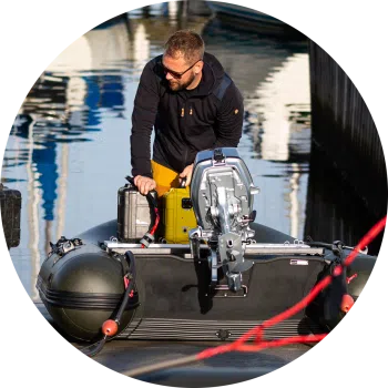
FloaTEM is the tTEM solution that delivers accurate and reliable data for mapping aquifers and investigating water bodies. FloaTEM is an hydrogeophysical scanner for river and shallow sea bottom imaging. It enables aquatic geophysical surveys that deliver detailed imaging data.

Leggi tutto