PROMIS – IRIS Instruments

PROMIS-10 is a multi-frequency electromagnetic induction instrument from IRIS Instruments for medium-deep geological investigations.

The instrument is capable of acquiring up to 10 simultaneous acquisition frequencies in the range from 110 Hz to 56 kHz.

The spacing between the transmitter and receiver can vary from 20 m to 400 m. PROMIS measures the three components of the secondary magnetic field (Hx, Hy, and Hz).

The transmitter loop produces the primary magnetic field and is connected to the receiving sensor via a variable-length cable.

The system measures the three in-phase and out-of-phase components of the secondary magnetic field induced in the ground.

The investigation depth depends on the TX/RX separation and the frequencies used and is typically estimated to be half the TX/RX spacing.
Related tools

TEM Image

Leggi tutto

sTEM20
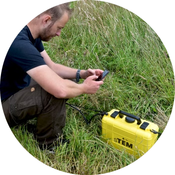
The powerful sTEM20 delivers accurate data to depths of 200 m – 600 m. Conducting single-site measurements, capturing data that can reach depths beyond 500 m (1650 ft). Powerful and accurate, the sTEM20 geoscanner is operated via an Android or iOS app.

Leggi tutto

SnowTEM
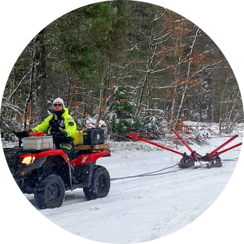
The SnowTEM delivers detailed mapping data in snow and ice. Suitable for permafrost, groundwater, sand, and gravel deposit mapping. Conducting continuous measurements, capturing data reaching depths of 180 m (590 ft). The SnowTEM geoscanner is operated via an Android or iOS app.

Leggi tutto

xTEM
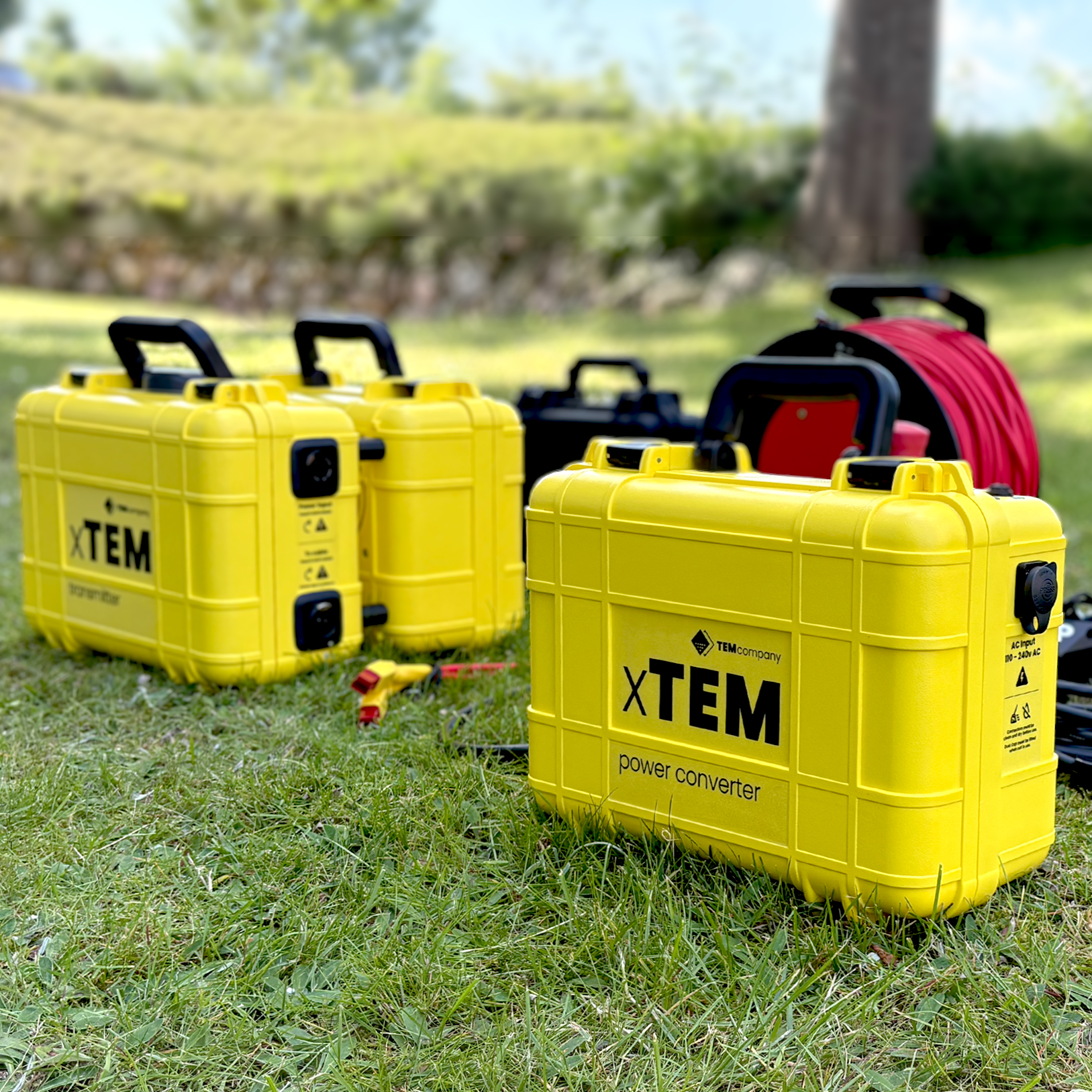
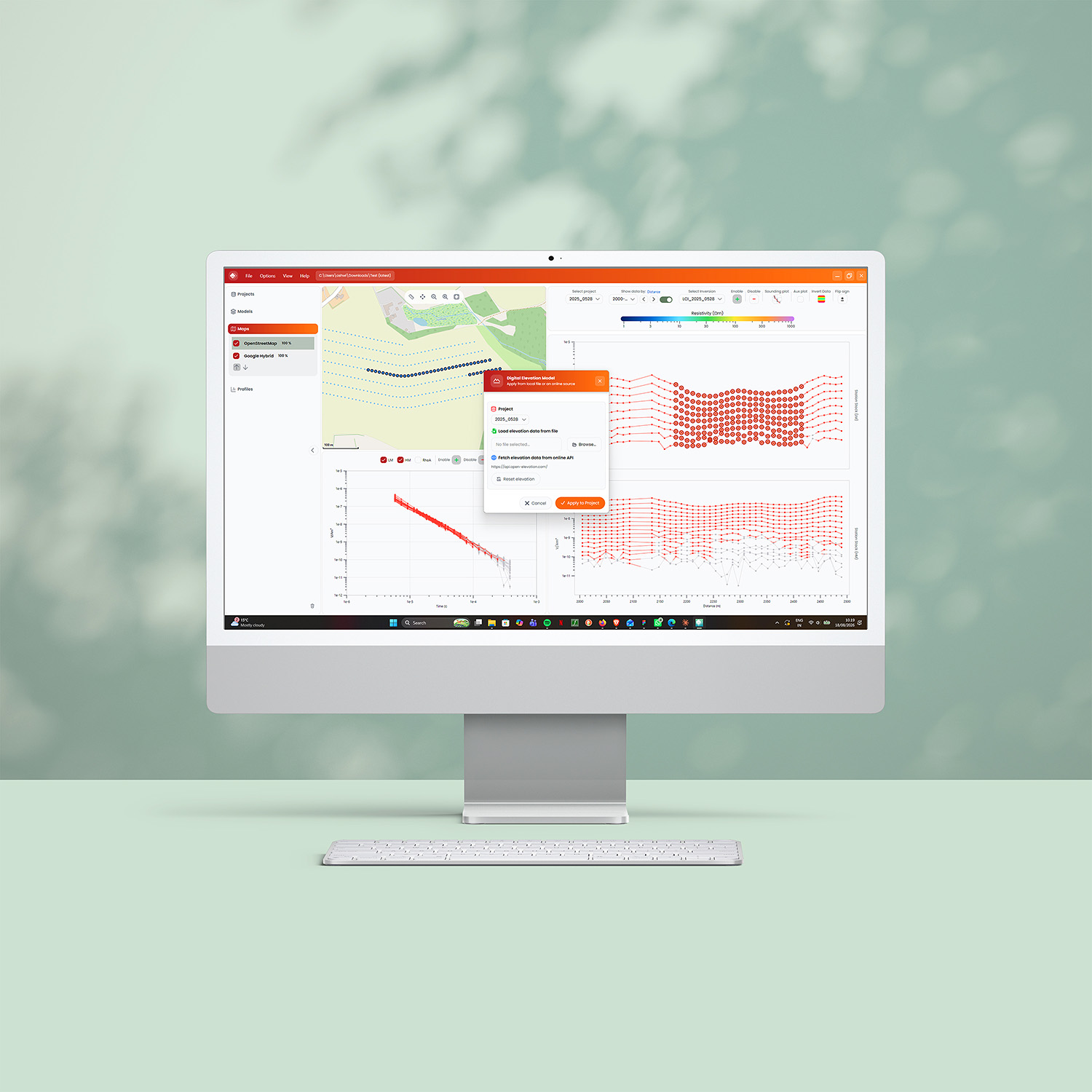
The xTEM geoscanner delivers efficient, reliable data for geophysical mineral exploration. It conducts measurements from a single source with wireless, independent, lightweight receivers, capturing data to depths beyond 600 m (2000 ft). The high-powered hybrid system delivers increased depth of investigation alongside 3D imaging capabilities. The xTEM delivers accurate data up to depths of 1000 m

Leggi tutto