DUALEM electromagnetometers are multi-array instruments capable of simultaneously measuring electrical conductivity and magnetic susceptibility of the subsurface using pairs of sensors, one coplanar and one orthogonal to the transmission loop. The system is available in various configurations that include multiple combinations of transmitter-receiver spacing, corresponding to different investigation depths.
Geostudi Astier offers a rental system in a 6m-4m-2m configuration, capable of acquiring 12 EM parameters for each measurement station (6 in-phase and 6 quadrature components) and investigating the soil to depths of up to 10 meters.
The acquired measurements can be simply mapped, but they can also be inverted using the 2D and 3D EM4Soil processing software to obtain a subsurface electrical conductivity model, similar to what is typically done for electrical tomography measurements.
Dualem Technical Features
Configuration
DUALEM consists of a system of small-diameter tubes that can be combined depending on field needs and required investigation depths.
Download the documentwith a list of the different configurations available.
Georeferencing System
The system incorporates an internal GPS for geolocation and can also be interfaced with an external GPS during acquisition, thanks to the DualEM LOG acquisition software, which allows monitoring of all parameters acquired during the survey.
Sensors
The system’s operating frequency is 9 kHz, and the sensors are patented and require no calibration. Dualem is one of the electromagnetometers available on the market with the best measurement stability and is less subject to instrumental or environmental drift (sensitivity to temperature or other factors).
Acquisition Mode
Data acquisition occurs continuously via a PDA or PC via a serial port or Bluetooth using an NMEA-0183 communication protocol; a backup system in the instrument’s internal memory ensures the persistence of the measurements on the device.
Sampling can occur at temporal frequencies from 0.1 Hz to 10 Hz, which must be set appropriately for good spatial coverage of measurements based on the acquisition speed.
For each measurement, the system also records the instrument’s horizontal deviation parameters (pitch and roll), temperature, and battery voltage. An LED system allows you to verify data transmission functionality.
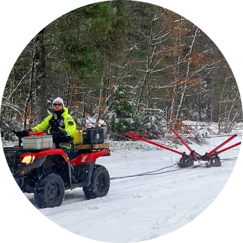
The system can be carried on your shoulder or towed using a sled or cart. A towing cart with motorized systems for rapid acquisition is available for rental.