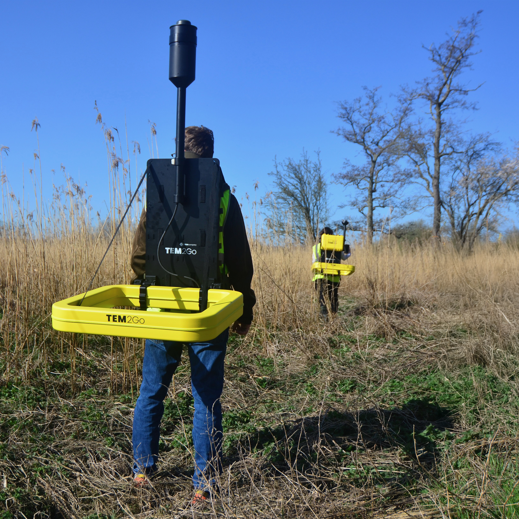
The TEM2GO delivers ultimate lìflexibility over the most challenging terrains: if you can walk on it, TEM2GO can gather the data until 75 meters of depth.
Built for ultimate portability and flexibility on site, the TEM2GO delivers survey data for construction sites, underwater mapping and managed acquifer recharge.
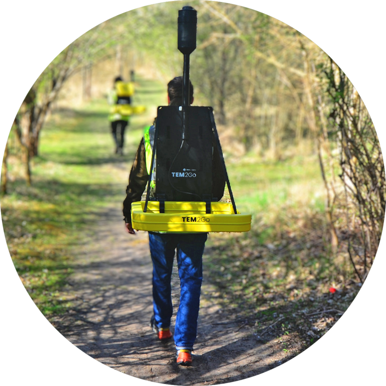
The TEM2GO delivers ultimate lìflexibility over the most challenging terrains: if you can walk on it, TEM2GO can gather the data until 75 meters of depth.
Built for ultimate portability and flexibility on site, the TEM2GO delivers survey data for construction sites, underwater mapping and managed acquifer recharge.