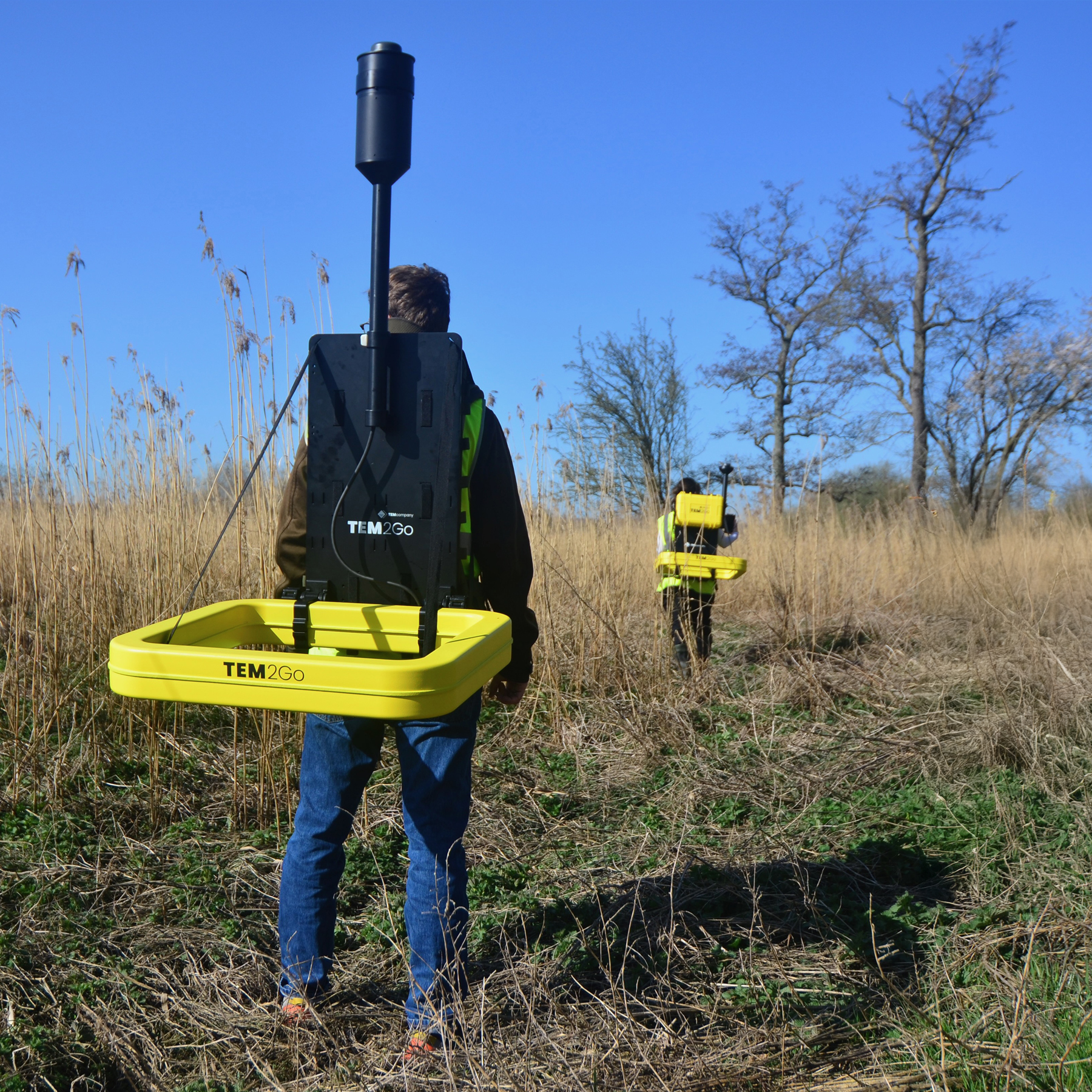

The TEM2Go geophysical scanner delivers survey data for construction sites, groundwater mapping, managed aquifer recharge, and mining. It’s compact and built on a professional backpack frame, making it easy to carry in even the most challenging terrain. If a person can walk across a terrain, TEM2Go can gather the data.
The TEM2Go delivers accurate data from the surface to depths of 75 m depending on geology.
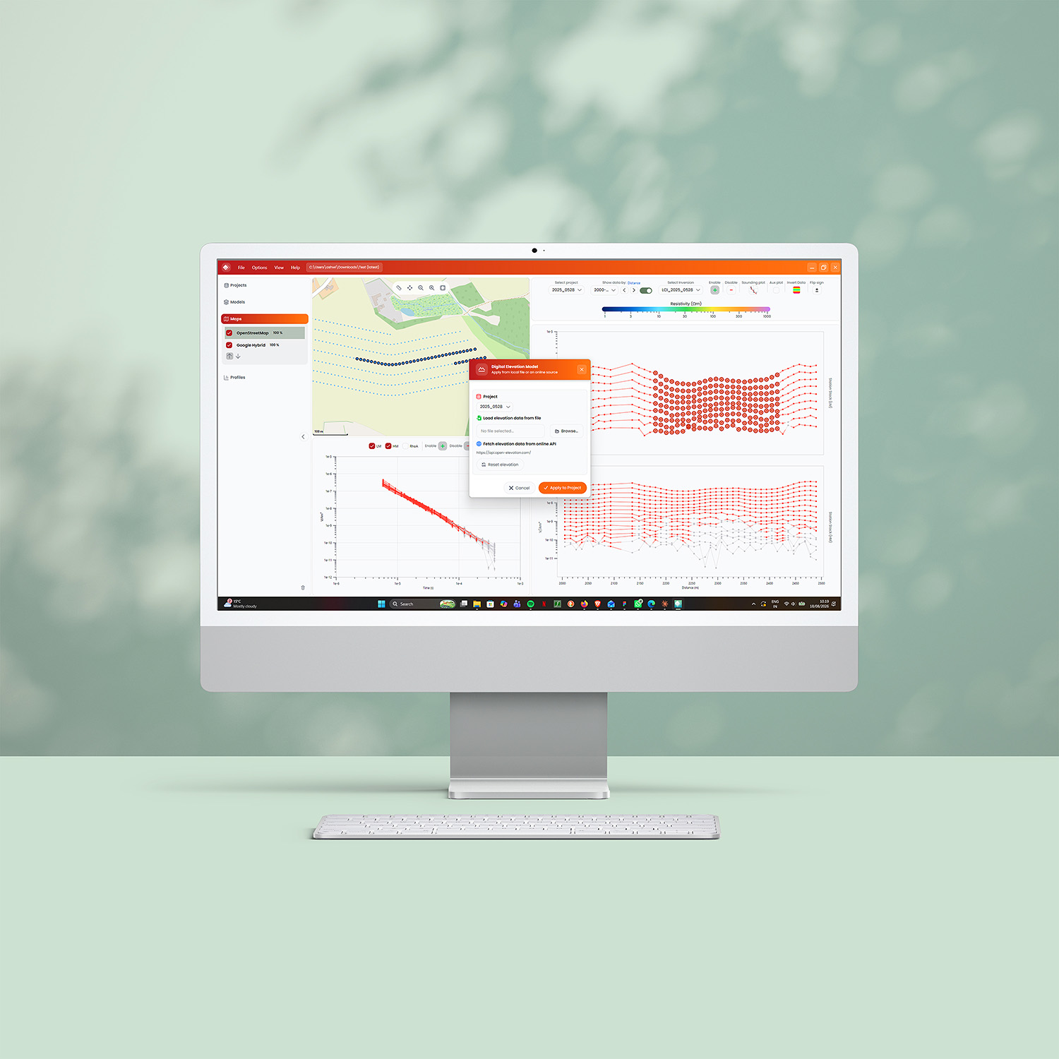
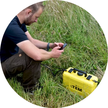
Operated via an Android or iOS App, the TEM2Go’s wirelessly connected transmitter and receiver are separated by a distance of 15 – 20 m (50 – 65 ft). Data is measured continuously while walking, capturing the conductivity structure of the subsurface from the top surface to depths of 75 m dependent on the resistivity of the geological layers. The TEM2Go has real-time processed data, inverted models, and a map display.
Configuration
- Transmitter coil size – 65 x 65 cm (2 ft x 2 ft)
- Transmitter output current – 1 Amp (turn-off time ~ 3 us) and 10 Amp (turn-off time ~ 6 us)
- Transmitter weight – 15 kg (33 lbs)
- Receiver coil sizes – 65 x 65 cm (2 ft x 2 ft)
- Receiver weight -10 kg (22 lb)
- Depth of investigation – From the surface to 75 m (246 ft), depending on geology
- Independent wireless receiver – GPS position of transmitter and receiver plus independent distance measurement
- Connectivity – WiFi, iOS & Android